New flood guide and updated climate risk tools now available

New resources are available to help Islanders learn more about the risks of coastal and inland flooding, which is increasing due to climate change.
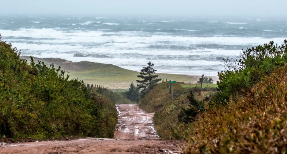
PEI’s 3000-kilometre coast is made up of beaches, sand dunes, cliffs, marshes, bays, estuaries, and inlets. The Island’s coastline is constantly changing due to erosion and flooding.
PEI’s Climate Hazard & Risk Information System (CHRIS) was launched last month, with almost 4,000 visits to the interactive web portal to date. The interactive portal allows users to learn about different climate hazards in PEI. Developed by the Government of Prince Edward Island and the University of Prince Edward Island, CHRIS has helpful information for property owners, interested buyers, policy, and decision-makers.
An updated Coastal Property Guide is now available. The guide contains important information about building or buying coastal property and covers topics such as coastal erosion and coastal flooding.
The new PEI Flood Guide can also help Island communities visualize inland and coastal flood risks. It provides guidance for creating flood policy and reviewing development applications. It can also help people plan for, and prevent, impacts to their own property.
Funding for these tools was provided by the Government of Prince Edward Island in support of Building Resilience: the Province’s Climate Adaptation Plan and the Government of Canada.
These tools are available on the Province’s coastal hazards page.
The Government of PEI is offering free demonstrations of the CHRIS platform. Interested municipalities, decision-makers, professional organizations, and community groups can request an informational session at ClimateAdapation@gov.pe.ca
Media contact:
Katie Cudmore
Department of Environment, Energy and Climate Action
katiecudmore@gov.pe.ca
Backgrounder
- The Island’s coastline is constantly subject to the natural processes of erosion. These normal processes become hazards when people choose to build homes, roads, or other lasting infrastructure too close to the shore. The risk increases due to sea-level rise and increasing storm frequency and intensity.
- PEI experiences two types of flooding: coastal flooding and inland flooding.
- Coastal flooding occurs where land along the coast is temporarily submerged by seawater resulting from extreme weather events that cause high waves and storm surge. This can be exacerbated and become more common due to sea level rise and shoreline erosion.
- Inland (pluvial) flooding occurs when intense rainfall can’t be absorbed by the ground fast enough or when storm drainage is overwhelmed. Hard surfaces such as buildings, parking lots, roads, as well as frozen ground, all contribute to inland flooding. This type of flooding often leads to flooded basements, damaged roads, overwhelmed sewer pipes, and swamped low-lying areas.
- The rainiest recorded day in PEI occurred in September 2021 where Charlottetown received 129mm rain and New London 149mm, resulting in culvert washouts and flooded basements throughout the Island.
