Gouvernement
PEI Flood Guide: A Resource for Local Land Use Planning
Date de publication:
le 1 Mai 2024
Le contenu suivant est seulement disponible en anglais.

What is the Prince Edward Island Flood Guide?
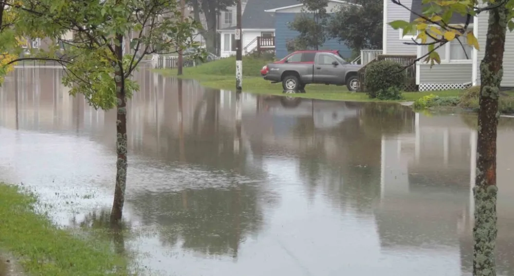
The PEI Flood Guide: A Resource for Local Land Use Planning provides necessary information to decision-makers about flood risk in Prince Edward Island. This Guide describes coastal and inland flood risks, provides guidance for creating flood policy and reviewing development applications, and introduces tools that can be used to help set land use policies.It provides answers to questions such as:
- What type of flood risks does PEI experience?
- How can land use planning reduce flood risks?
- What tools and resources are available to help us learn about flood risk and adaptive options?
- How do I access and use these tools?
- How can we reduce flood risk in our communities?
- What recommendations are there for processing development applications in flood hazard areas?
- How do I interpret flood hazard data?
- What legislation has implications to flood risk planning?
Where can I obtain a copy of the PEI Flood Guide?
You can download a copy of the guide HERE, or contact ClimateAdaptation@gov.pe.ca to request a free paper copy.
Building our resilience to climate change – part of PEI’s Climate Adaptation Plan
