State of the Forest Report

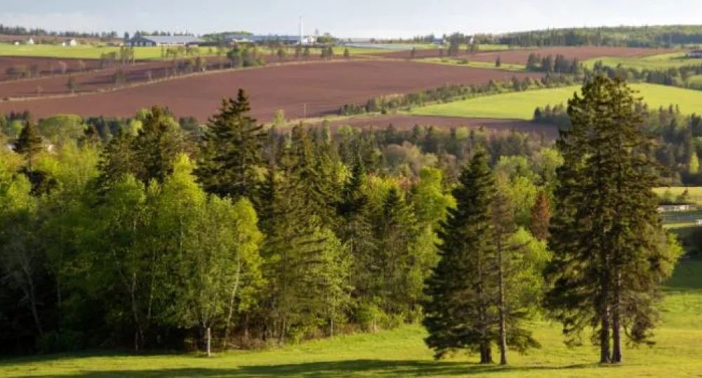
Prince Edward Island (PEI) is known for its patchwork of farm fields, sand dunes, and red sandstone cliffs but; in fact, contains more forest than any other landscape. Unlike the rest of Canada, most of PEI’s forests (more than 85%) are privately owned, resulting in unique challenges and benefits for islanders and local government(s). Once each decade, the Government of Prince Edward Island completes a Corporate Land Use Inventory and State of the Forest Report. Using a combination of high-resolution aerial photography and the collection of forest metrics at 822 ground plots, the Forests, Fish and Wildlife Division prepares information on land use change over time, as well as key attributes of Island forests.
The 2020 State of the Forest Report works to expand on the three previous reports (1990, 2000, and 2010) published by the province. Significant new technological improvements and innovative products were used to help measure the forest in new ways, allowing provincial staff and landowners to know more about their forests than ever before. Additionally, forests play a role in the mitigation of climate change through the reduction of atmospheric greenhouse gases and; for the first time, the new State of the Forest Report includes information on forest carbon storage and sequestration using the Carbon Budget Model of the Canadian Forest Service (CBM-CFS3).
State of the Forest Reports
State of the Forest Report (2000) (3.8MB)
State of the Forest Report (2010) (2MB)
State of the Forest Report (2020) (11MB)
Post-Fiona Forest Update
Post-Fiona Forest Update Report (3MB)
Who can I contact for further information on the State of the Forest reports?
Please contact 902-368-4683 or forests@gov.pe.ca for more information on previous or current State of the Forest reports.
